Spokane River Watersheds
Watershed Planning & Implementation for WRIAs 54, 55, 56, & 57
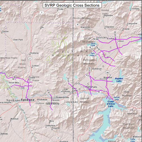
WRIA 57 Data-Geologic Cross Sections
 WRIA 57 Web Mapping Application
Spokane Valley Rathdrum Prairie Aquifer Geologic Cross Sections from USGS Scientific Investigations Report 2007-5041. Each cross section displays the interpreted geology through a specific area based on well data.